| Download T214 GPS Track (as .GPX) | Guadalupe Ranger District Trails | ||||||||||||||||||||||||||
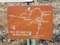
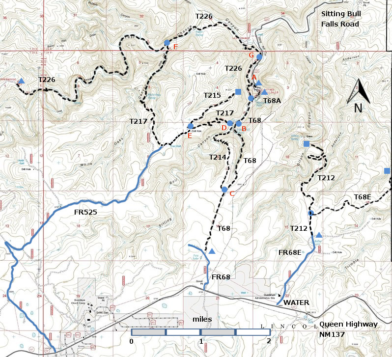
| T68, T68A, T68E, T212, T214, T215, T217, and T226 are shown as black dashed lines on the map below. The trail junctions in the Sitting Bull Falls Area are identified with a letter (A-G), red letters on the map. The photograph at the bottom right shows one such sign. | ||||||||||||||||||||||||||||
 | ||||||||||||||||||||||||||||
| LENGTH: 1.7 miles | |||||||||||||||||||||||||||
|
ELEVATION: 4900 - 5600 ft 700 ft difference | ||||||||||||||||||||||||||||
| DIFFICULTY: More Difficult | ||||||||||||||||||||||||||||
| SCENIC RATING: 2 | ||||||||||||||||||||||||||||
| Contour Interval: 40 feet Area Topo Map (36 MB) Six Topo Maps | ||||||||||||||||||||||||||||
|
 | |||||||||||||||||||||||||||
NOTE: The Sitting Bull Falls Recreation Site, a
beautiful picnic and viewing site, was badly damaged by floods in Fall 2013 and
is closed, by Forest Service order, to public use until further notice. However,
there is a parking area just outside the gate to the Recreation Site, and
hikers should make use of this parking area. | ||||||||||||||||||||||||||||
CAUTION: The Sitting Bull Falls area was badly burned in a
fire in 2011. I have not had a chance to
hike T214 since 2009, and many of the trees in the canyons were probably burned.
The area is recovering, but it may not be as lovely as John Stockert found it
in 2001. His description follows
(amended to include the Junctions). T214
provides a possible loop trail using a part of T68. The lower section of T214
passes through dry, open, semi-desert terrain.
The upper part threads along a nice grassy mesa among scattered pinyon
and juniper, and more thinly scattered yucca, agave and cholla. The lower and
upper sections are connected by an impressive series of nine switchbacks,
constructed by CCC. | ||||||||||||||||||||||||||||
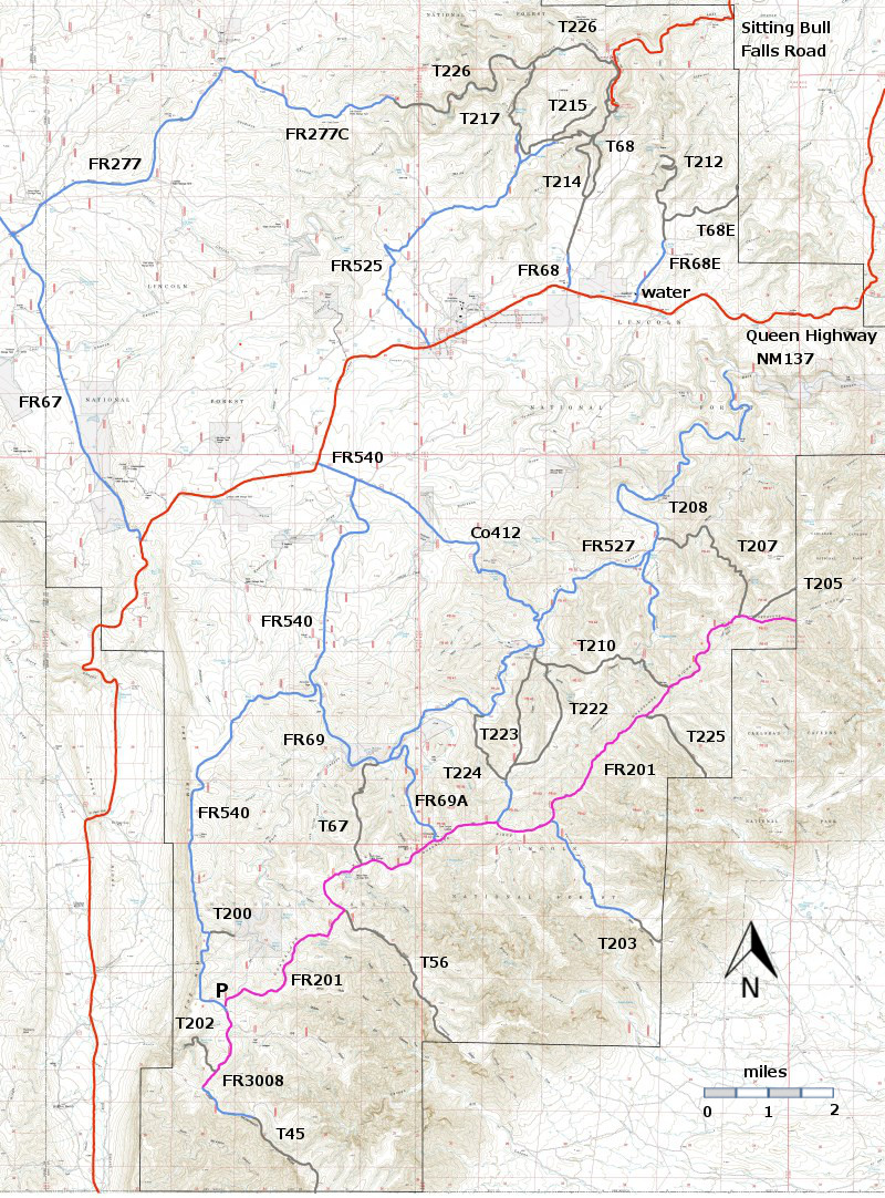
| LOCATION(S) OF ACCESS POINT(S) | ||||||||||||||||||||||||||||
| ||||||||||||||||||||||||||||
| ||||||||||||||||||||||||||||


