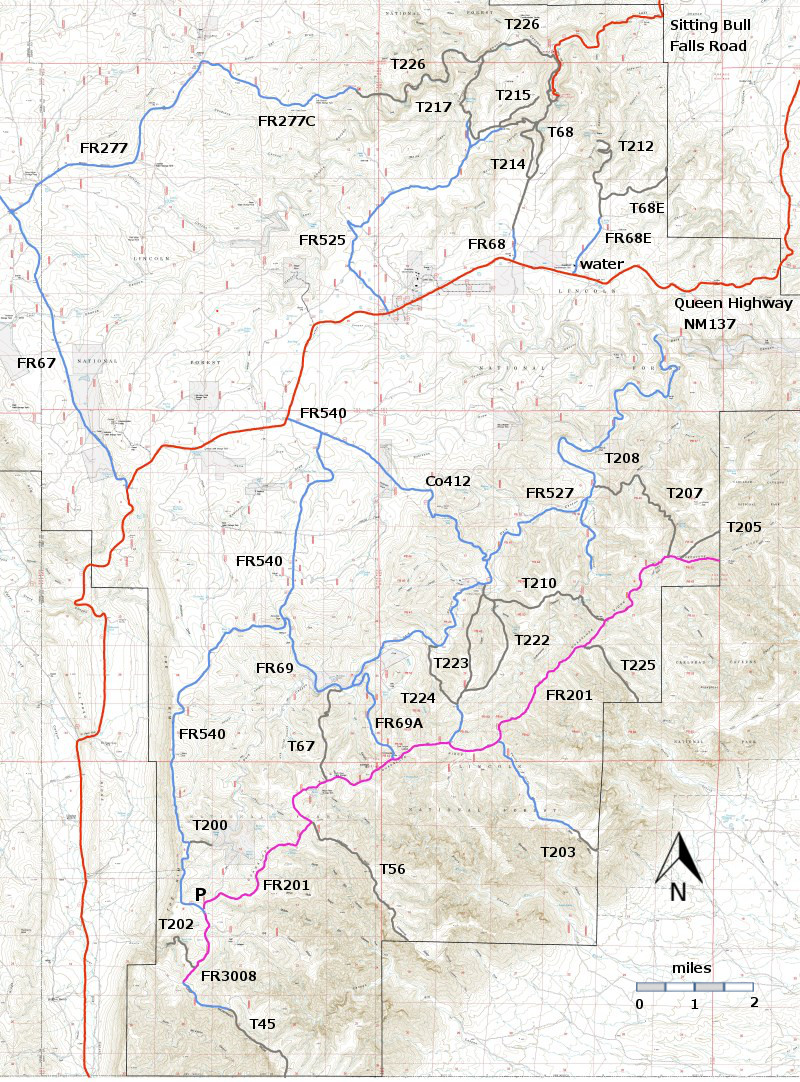
T201
McKittrick Canyon Trail
Guadalupe Ranger District
|
 |
| Download
No Link
GPS Track
(as .GPX) | Guadalupe Ranger District Trails |
| | |
| |
 |
| LENGTH:
miles
|
|
ELEVATION:
difference |
|
DIFFICULTY:
|
|
SCENIC
RATING:
|
|
|
| |
Contour Interval: 40 feet
Area Topo Map (36 MB)
Six Topo Maps | |
| |
| Route Color Codes | paved roads
(red) | | FS roads, open
(blue) | | FS roads, closed or impassable
(magenta) | | | | | main trail(s)
(black dashes) | --- | connector trail(s)
(green dashes) | --- | damaged or intermittent trail(s)
(orange over black dashes) | --- | closed trails(s)
(red over black dashes) | --- | | Symbols | trailhead
(blue triangle) |
 | trail junction
(blue dot) |
 | trail end
(blue square) |
 | | |
| |
| |
| |
| |
| |
| |
| LOCATION(S) OF ACCESS POINT(S) | |
| |
| |
| Lat/Lon hddd mm ss.s | UTM/NAD83 | | No information | | | | | |
| |
| Last Hiked: Not Hiked | Web Page Updated:February 14, 2014 | | Copyright Lynn Melton 2014 | Contact: LNFTG14@gmail.com |
| |
| |
