| Download T75 GPS Track (as .GPX) | Jicarilla/Carrizo Area Trails | ||||||||||||||||||||||||||
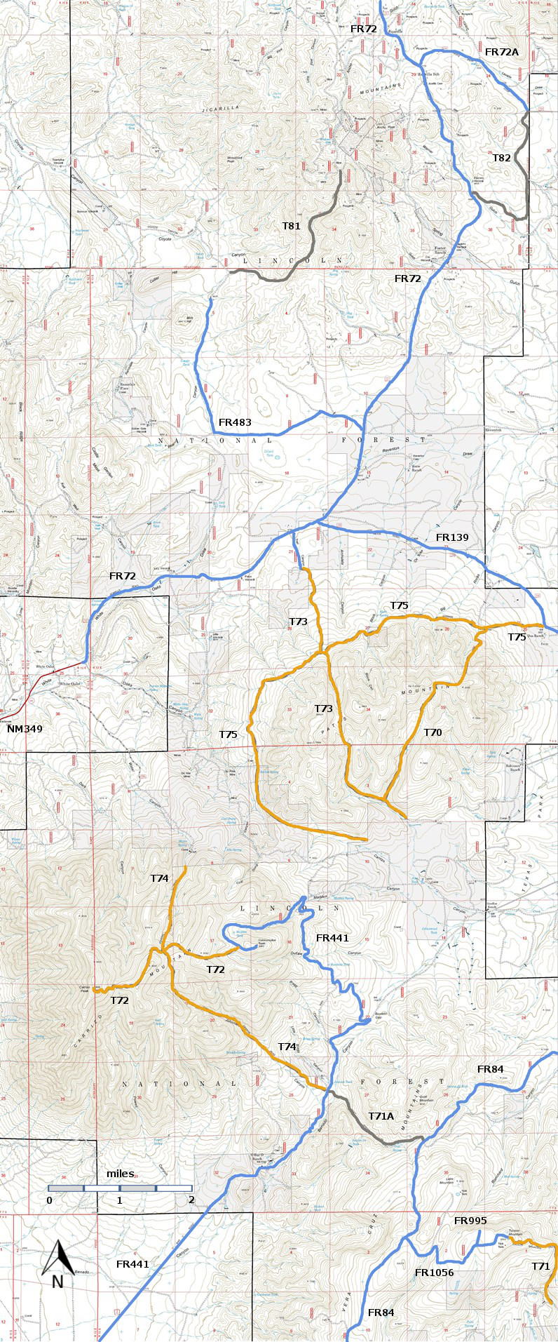
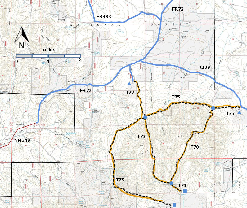
| T70, T73, and T75 are shown as black dashed lines on the map. | ||||||||||||||||||||||||||||
 | ||||||||||||||||||||||||||||
| LENGTH: 7.8 miles | |||||||||||||||||||||||||||
|
ELEVATION: 6700 - 7500 ft 800 ft difference | ||||||||||||||||||||||||||||
| DIFFICULTY: Most Difficult | ||||||||||||||||||||||||||||
| SCENIC RATING: 2 | ||||||||||||||||||||||||||||
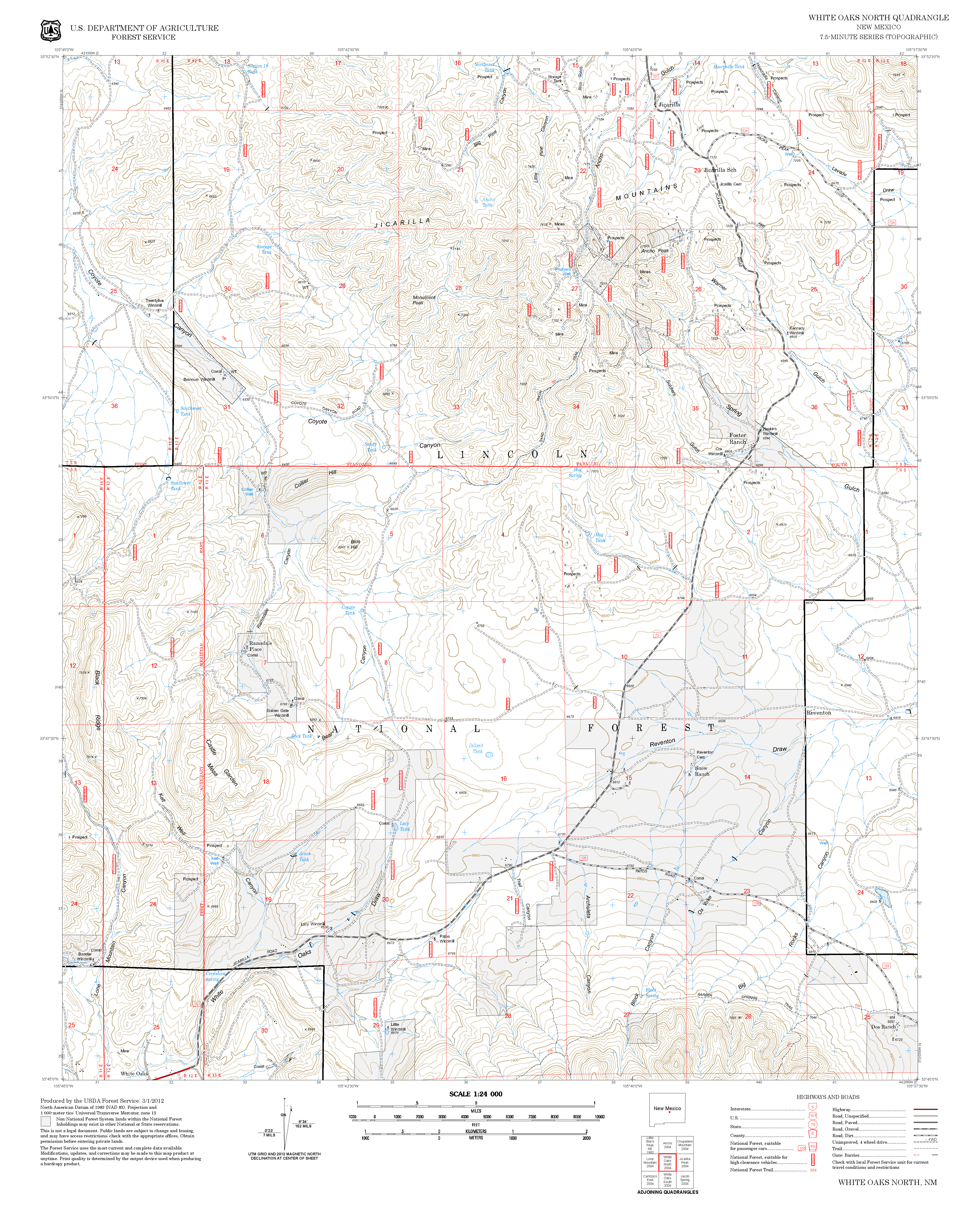
| Contour Interval: 40 feet Jicarilla/Carrizo Area Map (16MB) White Oaks South Topo Map White Oaks North Topo Map | ||||||||||||||||||||||||||||
| ||||||||||||||||||||||||||||
|
NOTE: In early
2002 John Stockert found that, due to the 1994 Patos Mountain Fire, it was extremely
difficult to follow T75 more than a mile from its lower trailhead. Except for the lower T75 trailhead markers,
no signs had been replaced since the fire.
Several unsigned, unofficial standard vehicle routes intersected the
trail, making it difficult to stay on the correct path. The lower section of T70
was found to be nonexistent. Before
hiking these trails, contact Smokey Bear Ranger District Office to see if trail
work has been performed and trail signs replaced. | ||||||||||||||||||||||||||||
DESCRIPTION: T75 is the best of the three
officially recognized trails in the Patos Mountains. Average maximum gradient is 25%. The first
0.8 mile of T75 from FR139 is severely eroded, and follows an old roadbed
crossed by many small, eroded berms. Beyond mile 1.0, T75 passes in and out of
charred forest. By mile 2.5 at a T75
sign, the route leaves the severely burned areas. At mile 3.2, T73 breaks away from T75 to the
left and heads up Trail Canyon. Along T75, at mile 4.8, is a magnificent but
brief view across a splendid mountain valley to Carrizo Peak. Barber
Springs, at mile 5.2, is at the upper edge of a distinctive marsh, perhaps a
thousand square feet in size. The unusual terrain consists of a soggy area,
dotted with a multitude of thick grass mounds a foot or more in diameter, and
interlaced with small hidden streamlets. Note: A portion of T75, south from Barber Springs, is
on private land for about 1.5 miles and could, therefore, be closed at any
time.
In an area with many bad roads, access to the northeast trailhead of T75 is surprisingly easy. From the intersection of US54 and US380 in Carrizozo, drive 3.3 miles north on US54 to paved County Road 349. Follow Co349 8.5 miles to the old mining town of White Oaks. The road continues as FR72, a well-maintained gravel road. Follow FR72 4.1 miles to the intersection with FR139 (Patos Road). Turn right and follow FR139 3.5 miles. The T75 trailhead is just west of the cattle guard. The sign is old and is several yards south of FR139. The most visible part is a Forest Service “hiker sign”. | ||||||||||||||||||||||||||||
| LOCATION(S) OF ACCESS POINT(S) | ||||||||||||||||||||||||||||
| ||||||||||||||||||||||||||||
| ||||||||||||||||||||||||||||


