| Download T63 GPS Track (as .GPX) | Capitan Mountains Trails | ||||||||||||||||||||||||||
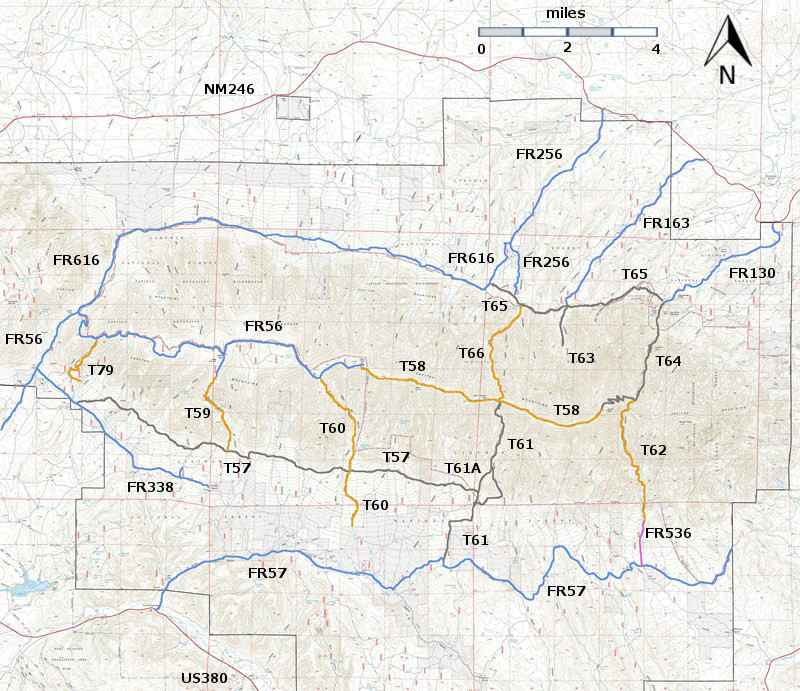
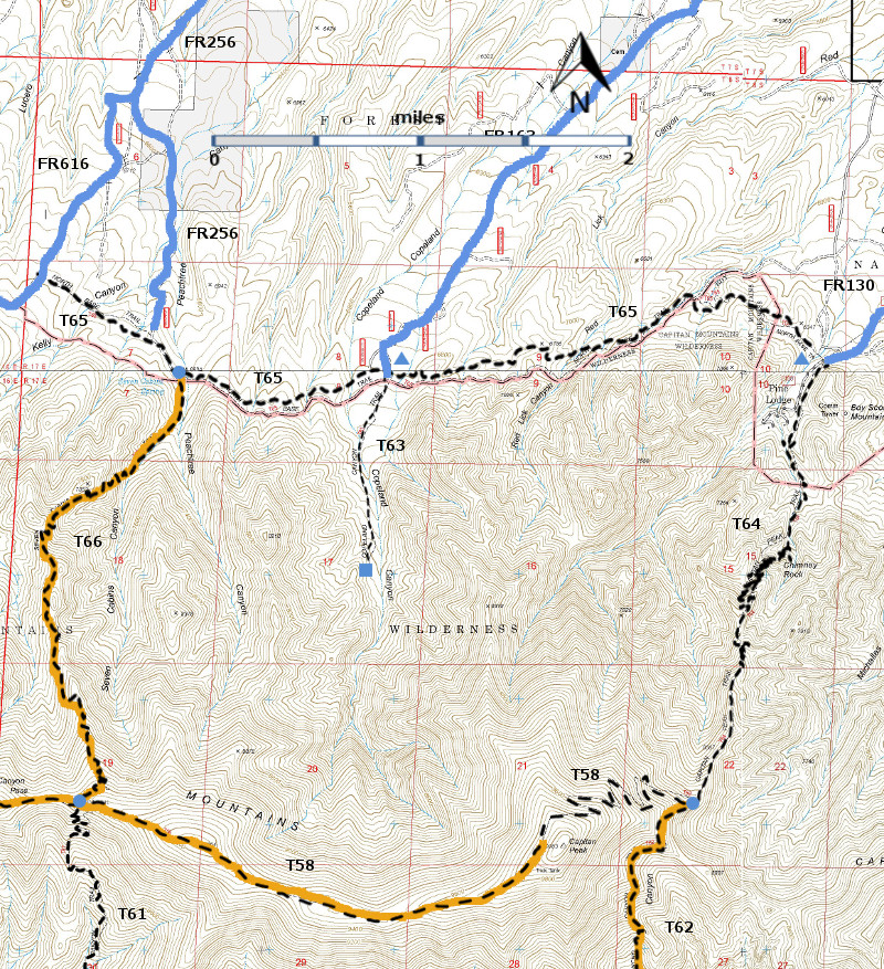
| T58 (partial),T61 (partial), T62 (partial), T63, T64, T65, and T66 are shown as black dashed lines on the map. As part of the Capitan Mountains Wilderness Area trail system, these trails allow only hiking and pack animal activities. | ||||||||||||||||||||||||||||
 | ||||||||||||||||||||||||||||
| LENGTH: 1.0 miles | |||||||||||||||||||||||||||
|
ELEVATION: 6820 - 7240 ft 420 ft difference | ||||||||||||||||||||||||||||
| DIFFICULTY: Easiest | ||||||||||||||||||||||||||||
| SCENIC RATING: 2 | ||||||||||||||||||||||||||||
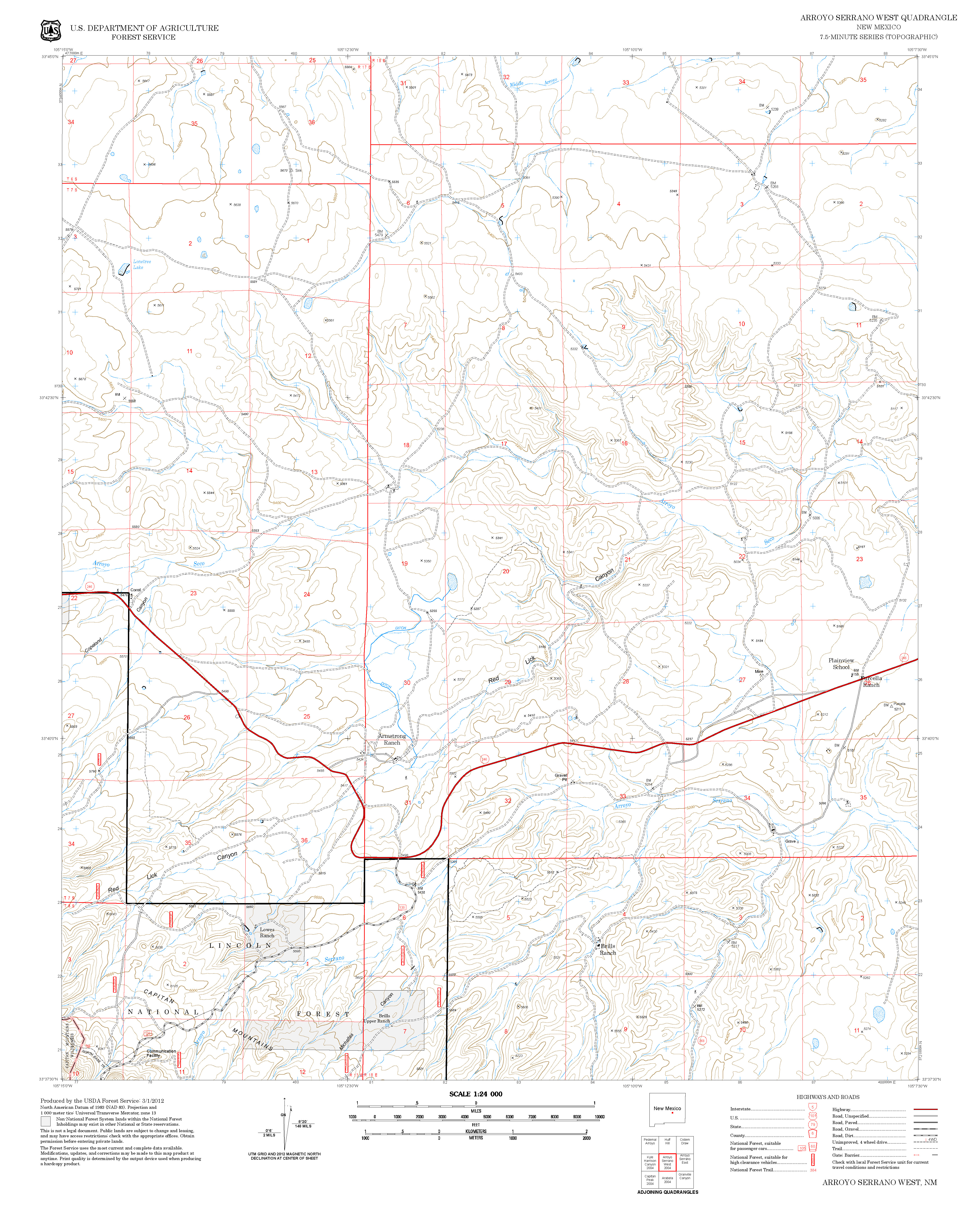
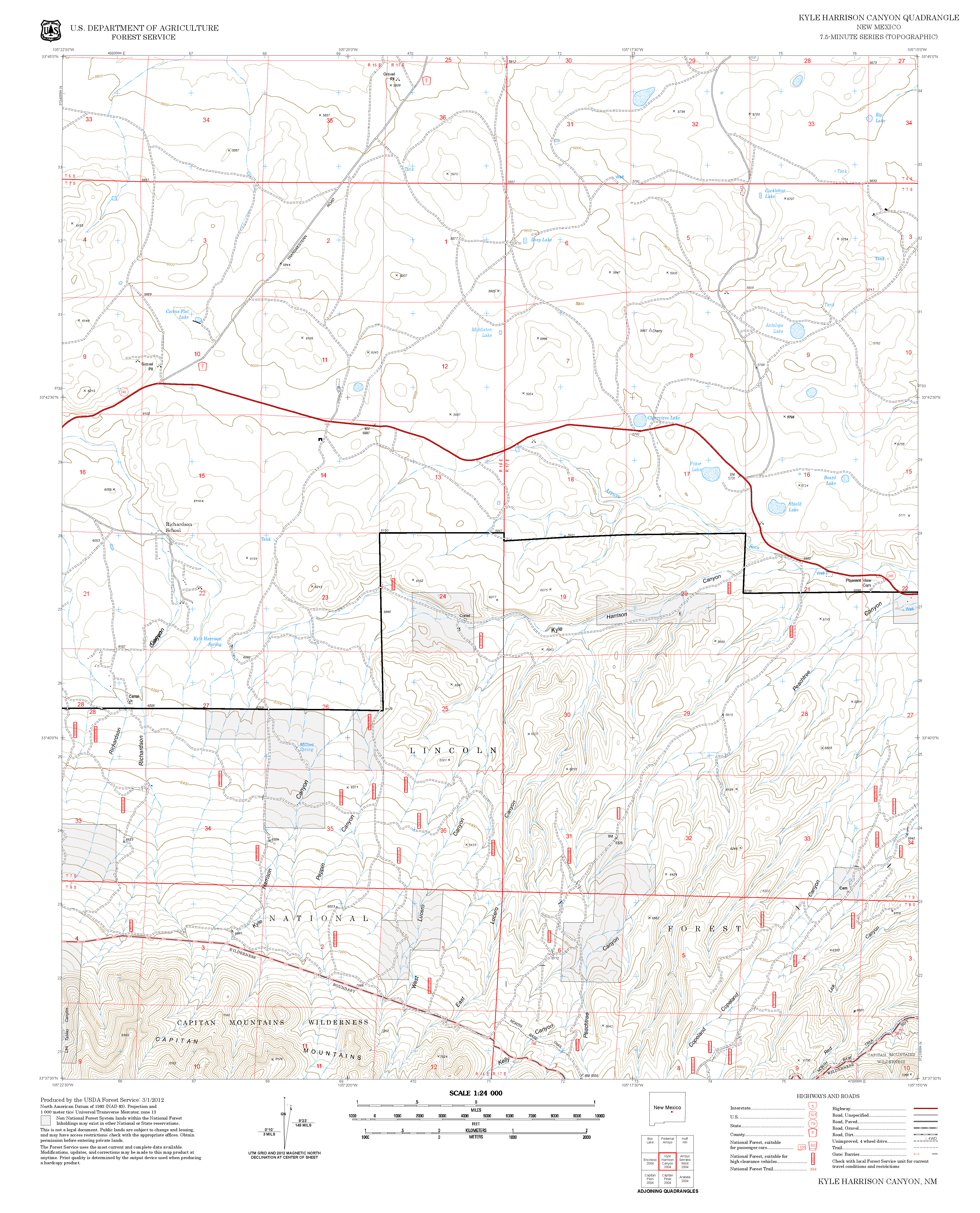
| Contour Interval: 40 feet Capitan Mountains Area (37 MB) Arroyo Serrano West Topo Map Capitan Peak Topo Map Kyle Harrison Topo Map | ||||||||||||||||||||||||||||
| ||||||||||||||||||||||||||||
| Note: The 2004 Peppin Fire Burned parts of T63, T65, and T66. The descriptions given below are based on John Stockert’s 2001 observations. Click on this link for a 2013 picture of the area near the junction of T65 and T66. | ||||||||||||||||||||||||||||
DESCRIPTION: T63,
an old mining road, branches off T65 and heads up canyon into the Capitan
Mountains Wilderness. Along the trail are several small open areas and
excavation piles from the mining era being reclaimed by nature. Gradients vary
up to 15%. The obvious trail ends where tree branches block the way. A short
path leads from there 0.1 mile up canyon to an old campsite near the edge of a
small inner canyon. Here, a creek passes
through three small, interesting pools, all within 250 feet of the first pond. An
easy access, with no trail, into the wilderness can be gained by hiking up this
somewhat steep-walled valley. | ||||||||||||||||||||||||||||
| LOCATION(S) OF ACCESS POINT(S) | ||||||||||||||||||||||||||||
Table
| ||||||||||||||||||||||||||||
| ||||||||||||||||||||||||||||


