| Download T53 GPS Track (as .GPX) | White Mountain Wilderness Trails | ||||||||||||||||||||||||||
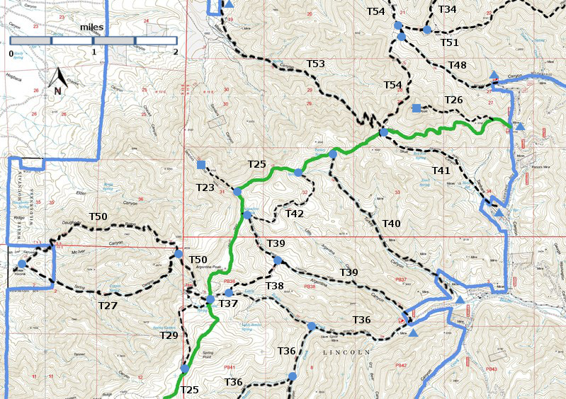
| T23, T26, T27, T29, T34 (partial), T36 (partial), T37, T38, T39, T40, T41, T42, T48, T50, T51 (partial), T53, and T54 (partial) are shown as labeled black dashed lines on the map. The solid blue line is the border of the White Mountain Wilderness . The solid green line is T25 Crest Trail. | ||||||||||||||||||||||||||||
 | ||||||||||||||||||||||||||||
| LENGTH: 3.6 miles | |||||||||||||||||||||||||||
|
ELEVATION: 6760 - 9160 ft 2400 ft difference | ||||||||||||||||||||||||||||
| DIFFICULTY: Moderate | ||||||||||||||||||||||||||||
| SCENIC RATING: 3 | ||||||||||||||||||||||||||||
| Download Forest Service Resource | ||||||||||||||||||||||||||||
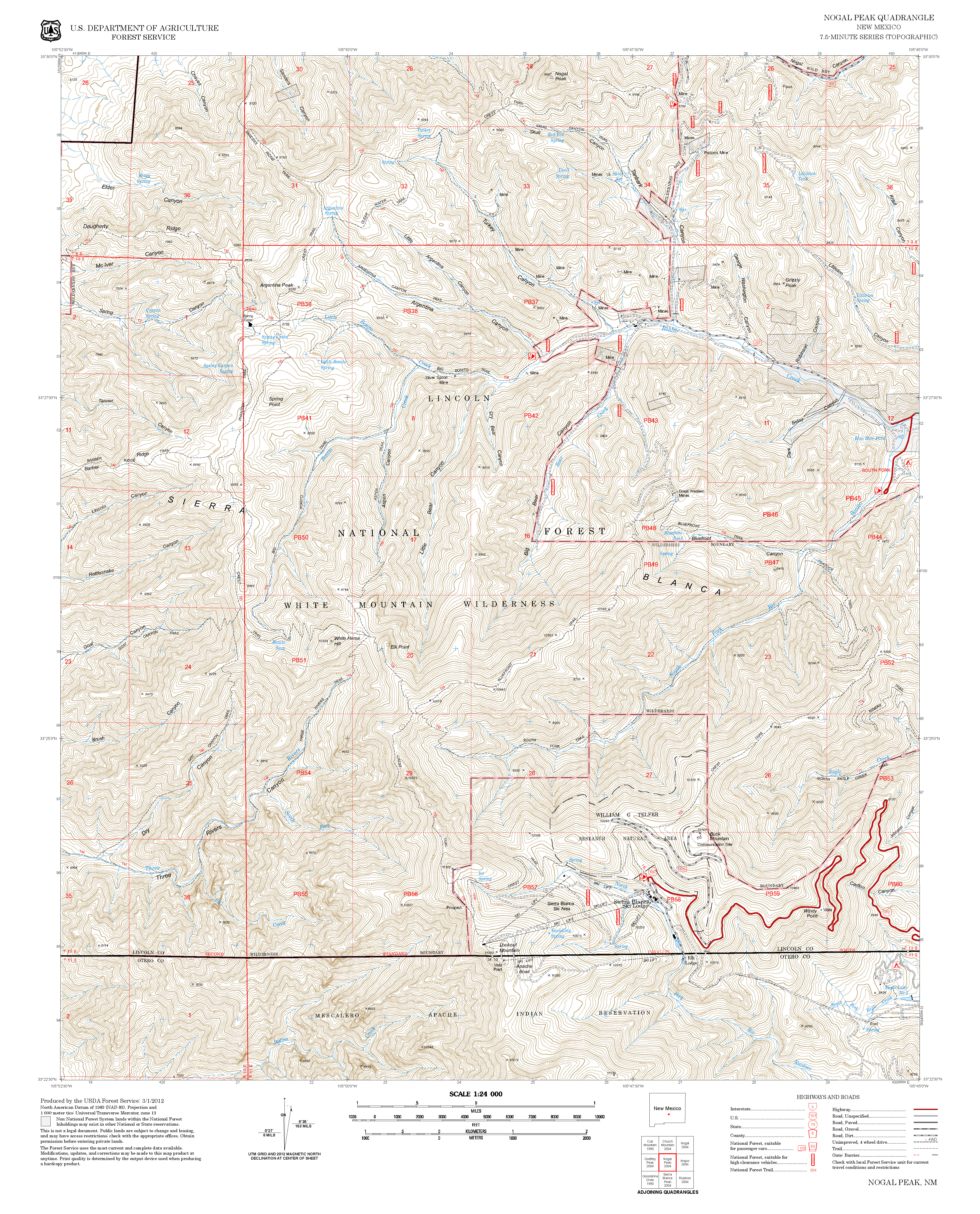
| Contour Interval: 40 feet White Mountain Wilderness Trails (34 MB) Church Mountain Topo Map Nogal Peak Topo Map | ||||||||||||||||||||||||||||
| ||||||||||||||||||||||||||||
|
SPECIAL
NOTE: Eight of the 10 miles of road accessing the lower T53 trailhead
from Carrizozo are privately owned. A locked gate blocks access, but a
key can be borrowed from the sheriff’s office in Carrizozo. However, that
key is not always available. Call the sheriff’s office (505) 648-2341
about the key. | ||||||||||||||||||||||||||||
DESCRIPTION: Beginning
at the lower trailhead, a gate through the fence, T53 passes 1.0 mile through
moderate stands of juniper and pinyon. At
mile 0.6, a fence with black vinyl pipe invites you to cross the fence; do not
do so. At mile 1.0, the trail joins an
old road in the bottom of Water Canyon at a wooden T53 sign, just up road 50
feet from a large wooden White Mountain Wilderness sign. As you proceed up the canyon, there are
points at which two drainages merge.
Follow the right hand drainage at each. If coming from its upper trailhead,
the route provides spectacular distant views that include the town of
Carrizozo, the Malpais lava fields, and if atmospheric conditions are good, the
Manzano and Sandia Mountains to the north. Except for the first half mile,
water flows intermittently through most of the remainder of the canyon. The
stream is crossed repeatedly by the trail. The route becomes somewhat steep in
places as it passes through a mixed conifer forest including stands of oak and
maple.
| ||||||||||||||||||||||||||||
| LOCATION(S) OF ACCESS POINT(S) | ||||||||||||||||||||||||||||
Table
| ||||||||||||||||||||||||||||
| ||||||||||||||||||||||||||||


