| Download T27 GPS Track (as .GPX) | White Mountain Wilderness Trails | ||||||||||||||||||||||||||
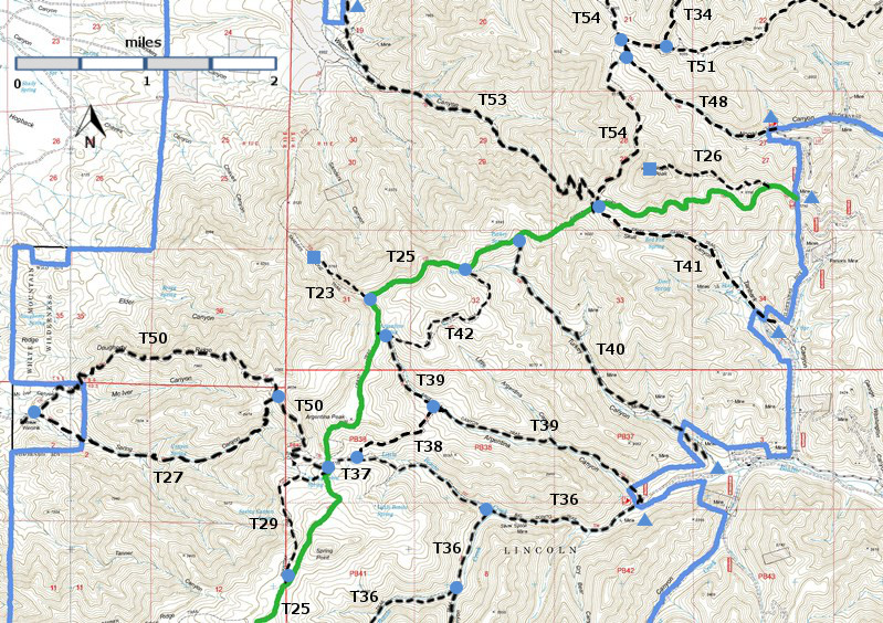
| T23, T26, T27, T29, T34 (partial), T36 (partial), T37, T38, T39, T40, T41, T42, T48, T50, T51 (partial), T53, and T54 (partial) are shown as labeled black dashed lines on the map. The solid blue line is the border of the White Mountain Wilderness . The solid green line is T25 Crest Trail. | ||||||||||||||||||||||||||||
 | ||||||||||||||||||||||||||||
| LENGTH: 3.0 miles | |||||||||||||||||||||||||||
|
ELEVATION: 6800 -8440 ft 1640 ft difference | ||||||||||||||||||||||||||||
| DIFFICULTY: Difficult | ||||||||||||||||||||||||||||
| SCENIC RATING: 2 | ||||||||||||||||||||||||||||
| Download Forest Service Resource | ||||||||||||||||||||||||||||
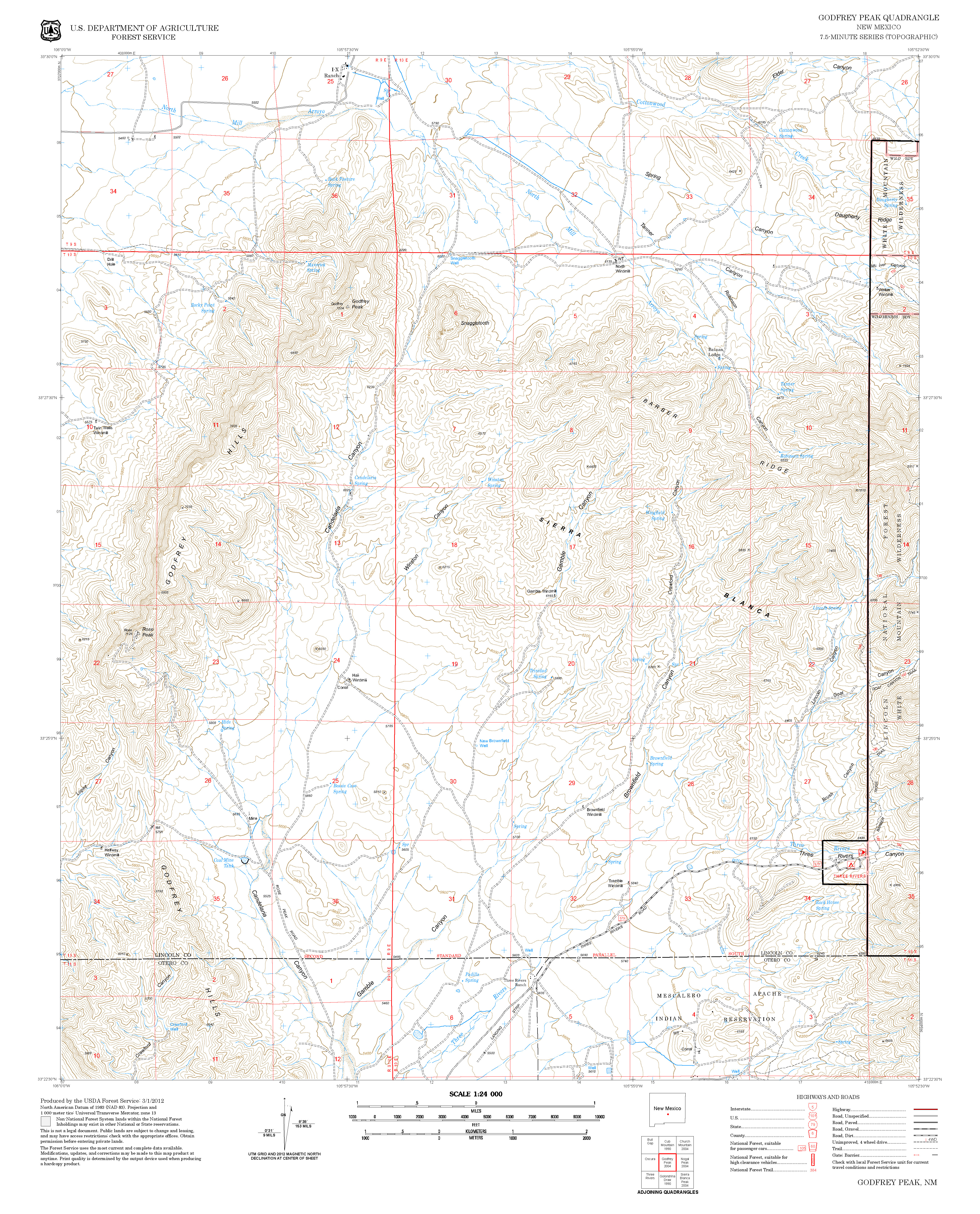
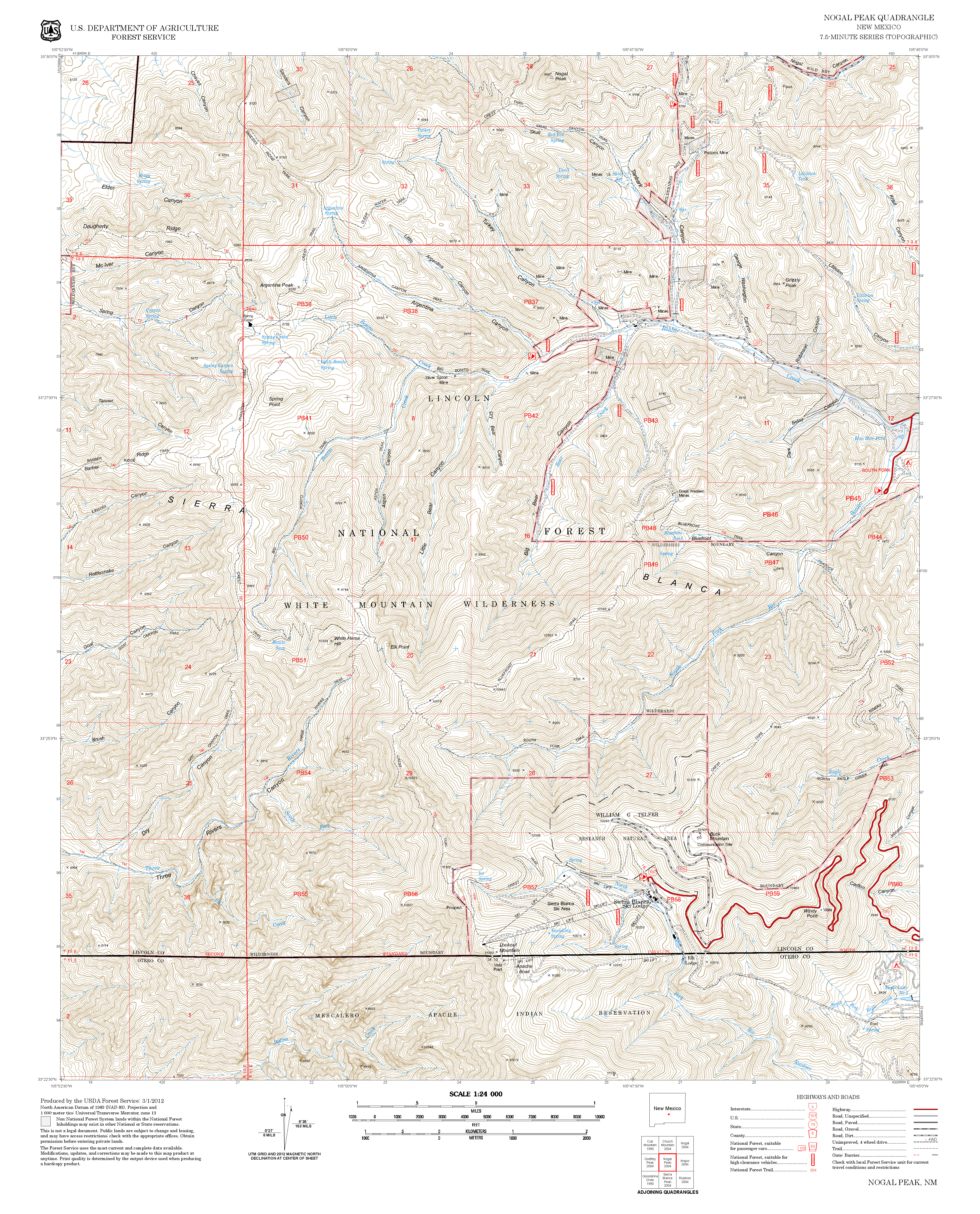
| Contour Interval: 40 feet White Mountain Wilderness Trails (34 MB) Godfrey Peak Topo Map Nogal Peak Topo Map | ||||||||||||||||||||||||||||
| ||||||||||||||||||||||||||||
| It is difficult, if not impossible,
to obtain permission to cross private land between US54 and Walker Windmill at
the lower T50 trailhead. Therefore, both trails must be accessed from the
upper T50 trailhead. | ||||||||||||||||||||||||||||
ACCESS: To find the upper T50 trailhead from Smokey Bear Ranger District Office in Ruidoso, drive NM48 north 8.3 miles to NM37. Turn left and follow NM37 1.3 miles to FR107, Rio Bonito Road (signed Bonito Lake). Turn left and follow the narrow 2‑lane, sometimes rough, paved road past Bonito Lake. Go beyond the end of the pavement, through the riding stable area, to the end of the road at mile 8.3. Corrals are here for those with horses. Camping is also permitted. After parking, follow T36, Big Bonito Trail, 1.2 miles to T37, Little Bonito Trailhead. Follow T37 1.5 miles to its upper end with T25, Crest Trail. This is also the common trailhead for T50 that descends the west side of the White Mountains. | ||||||||||||||||||||||||||||
| LOCATION(S) OF ACCESS POINT(S) | ||||||||||||||||||||||||||||
| ||||||||||||||||||||||||||||
| ||||||||||||||||||||||||||||


