| Download T23 GPS Track (as .GPX) | White Mountain Wilderness Trails | ||||||||||||||||||||||||||
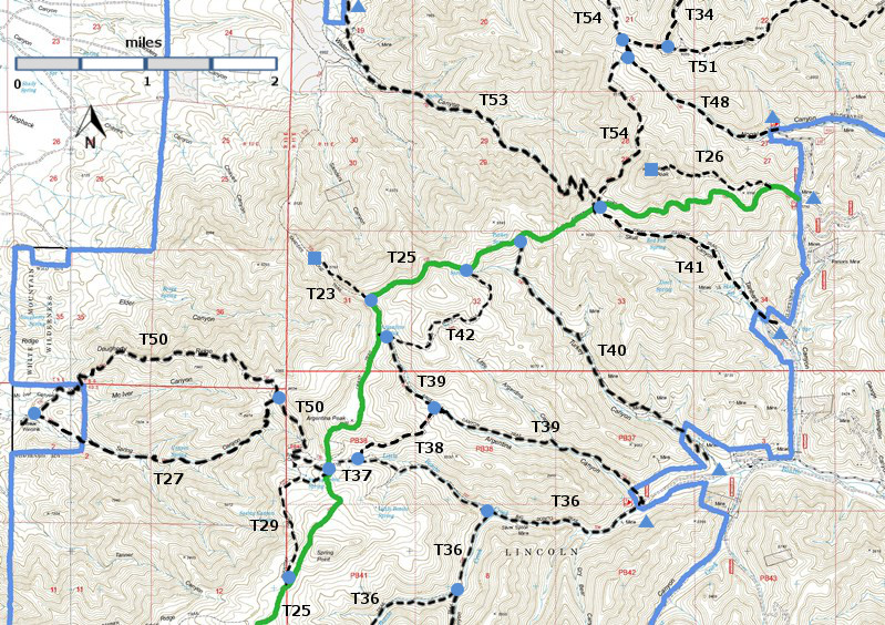
| T23, T26, T27, T29, T34 (partial), T36 (partial), T37, T38, T39, T40, T41, T42, T48, T50, T51 (partial), T53, and T54 (partial) are shown as labeled black dashed lines on the map. The solid blue line is the border of the White Mountain Wilderness . The solid green line is T25 Crest Trail. | ||||||||||||||||||||||||||||
 | ||||||||||||||||||||||||||||
| LENGTH: 0.3 miles See Text | |||||||||||||||||||||||||||
|
ELEVATION: 7020 - 8960 ft 1940 ft difference | ||||||||||||||||||||||||||||
| DIFFICULTY: Easy (see text) | ||||||||||||||||||||||||||||
| SCENIC RATING: 2 | ||||||||||||||||||||||||||||
| Download Forest Service Resource | ||||||||||||||||||||||||||||
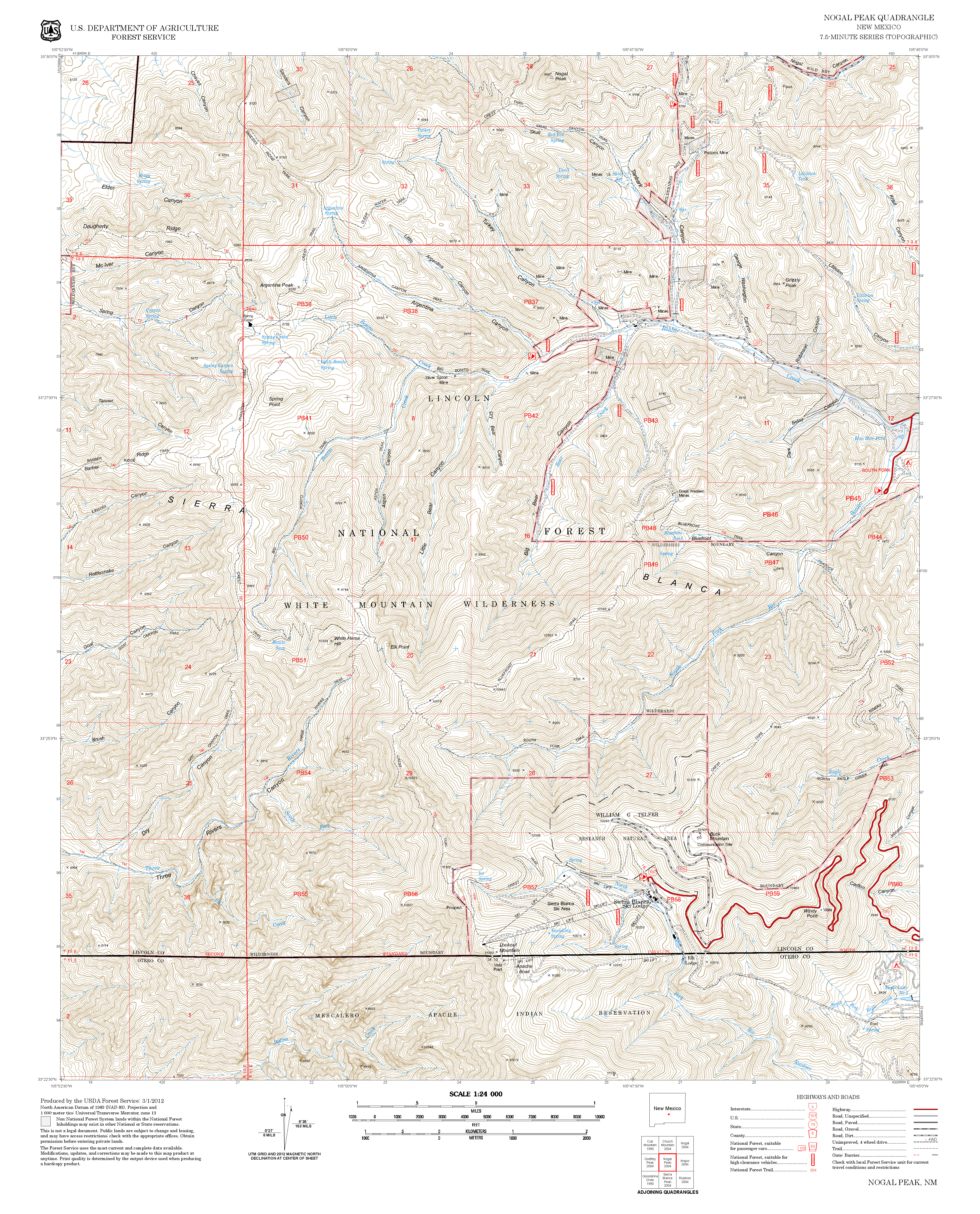
| Contour Interval: 40 feet White Mountain Wilderness Trails (34 MB) Church Mountain Topo Map Nogal Peak Topo Map | ||||||||||||||||||||||||||||
| ||||||||||||||||||||||||||||
|
DESCRIPTION: Forest
Service topo maps show that T23 begins at T25 and runs along Sander’s Ridge to
the base of the mountains. From the
upper end of T23, an unsigned junction with T25, the first 0.3 miles of T23
provide a nice “out-and-back” hike along a ridge that narrows to about 6’ at
its western end. The Lincoln National
Forest has very “vertigo” hikes and this is a nice one. However, the ridge ends at a cliff, with no
viable hike down. It is possible to
reach the base of the mountains, but doing so requires OYB (“on your bottom”)
scrambles, avoiding cliffs, bushwhacking up and down through steep terrain, and
probably use of GPS (with topo map downloaded) to reach the road that leads to
T53 Water Canyon trail. From
the junction of T25 with T40 Turkey Canyon Trail, hike 1.4 miles SW along T25
to the unsigned junction of T25 and T23. For access to T40, see its write-up. | ||||||||||||||||||||||||||||
| LOCATION(S) OF ACCESS POINT(S) | ||||||||||||||||||||||||||||
| ||||||||||||||||||||||||||||
| ||||||||||||||||||||||||||||


