| Download T68A GPS Track (as .GPX) | Guadalupe Ranger District Trails | ||||||||||||||||||||||||||
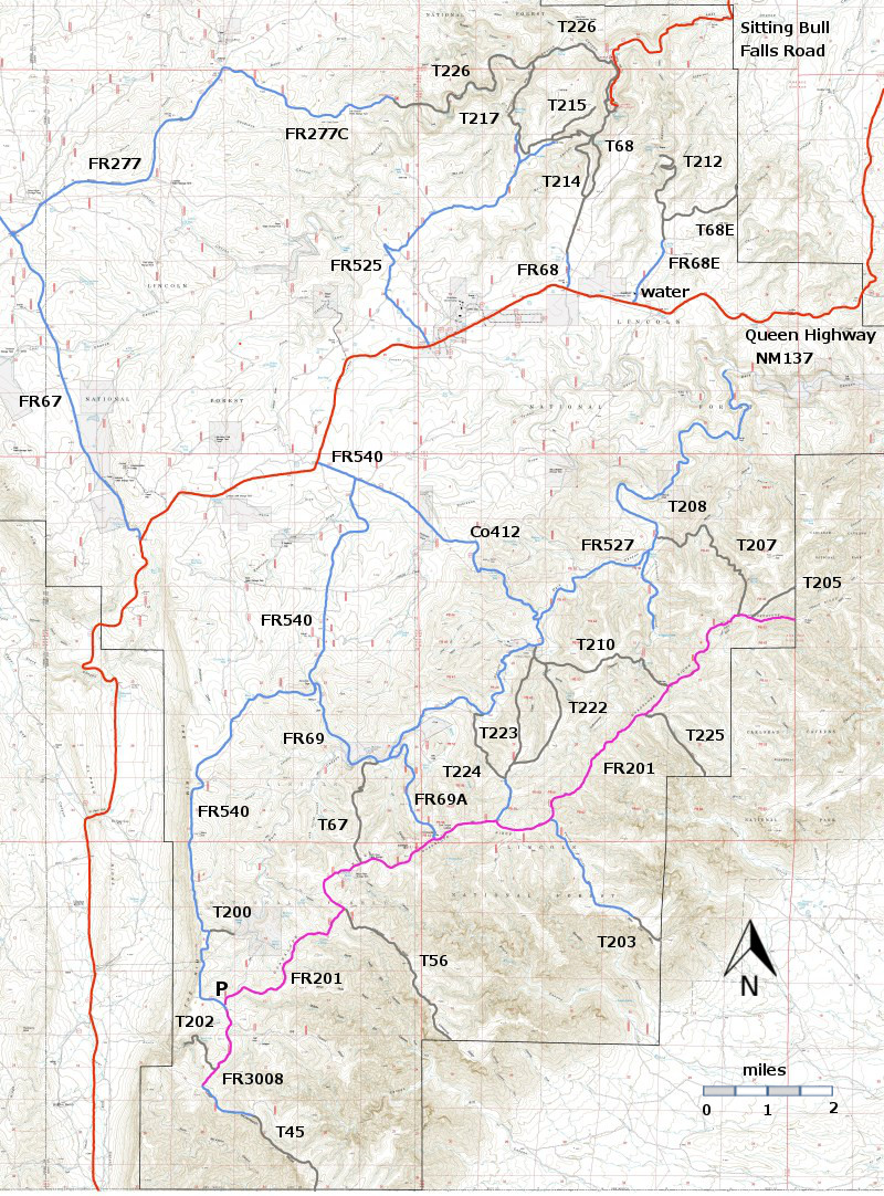
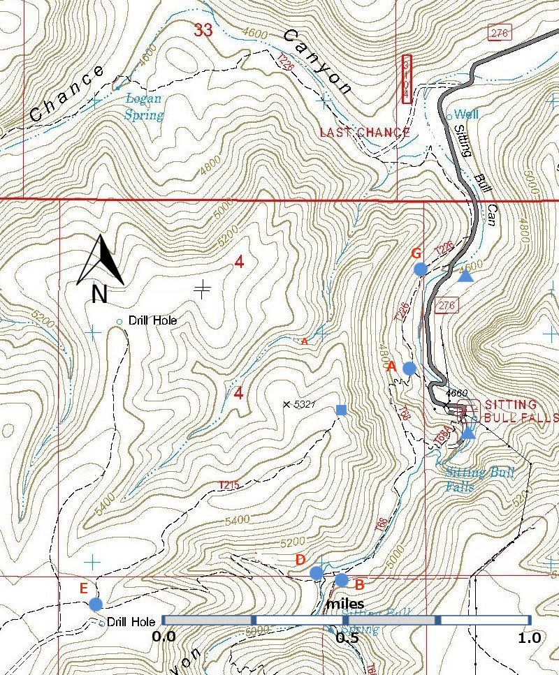
| T68A is located near the words "Sitting Bull Falls" on the map. | ||||||||||||||||||||||||||||
 | ||||||||||||||||||||||||||||
| LENGTH: 0.3 miles | |||||||||||||||||||||||||||
|
ELEVATION: 4680 - 4900 ft 220 ft difference | ||||||||||||||||||||||||||||
| DIFFICULTY: Difficult | ||||||||||||||||||||||||||||
| SCENIC RATING: 2 | ||||||||||||||||||||||||||||
| Contour Interval: 40 feet Area Topo Map (36 MB) Six Topo Maps | ||||||||||||||||||||||||||||
| ||||||||||||||||||||||||||||
T68A is a steep, bad hike from the Sitting Bull Falls picnic area to the top of Sitting Bull Falls. Nice idea, but this trail is steep, with irregular steps cut into the rock, and the open side is an invitation to a bad fall. The view from the top is nice, but I recommend taking T68 – leaves near the host’s trailer -- to reach the same viewing spot. It is twice as long, with a gentler average grade and is much safer. | ||||||||||||||||||||||||||||
| LOCATION(S) OF ACCESS POINT(S) | ||||||||||||||||||||||||||||
| ||||||||||||||||||||||||||||
| ||||||||||||||||||||||||||||


