| Download T224 GPS Track (as .GPX) | |||||||||||||||||||||||||||
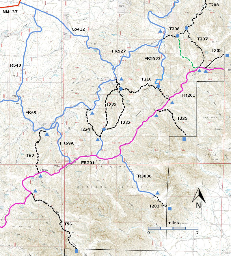
| T56, T67, T203, T205, T207, T208, T210, T222, T223, T224, and T225 are shown as black dashed lines on the map. FR201, shown in magenta, is considered to be impassable for most 4WD high clearance vehicles. | ||||||||||||||||||||||||||||
| LENGTH: 1.6 miles | |||||||||||||||||||||||||||
|
ELEVATION: 6000 - 6760 ft 760 ft difference | ||||||||||||||||||||||||||||
| DIFFICULTY: Moderate | ||||||||||||||||||||||||||||
| SCENIC RATING: 3 | ||||||||||||||||||||||||||||
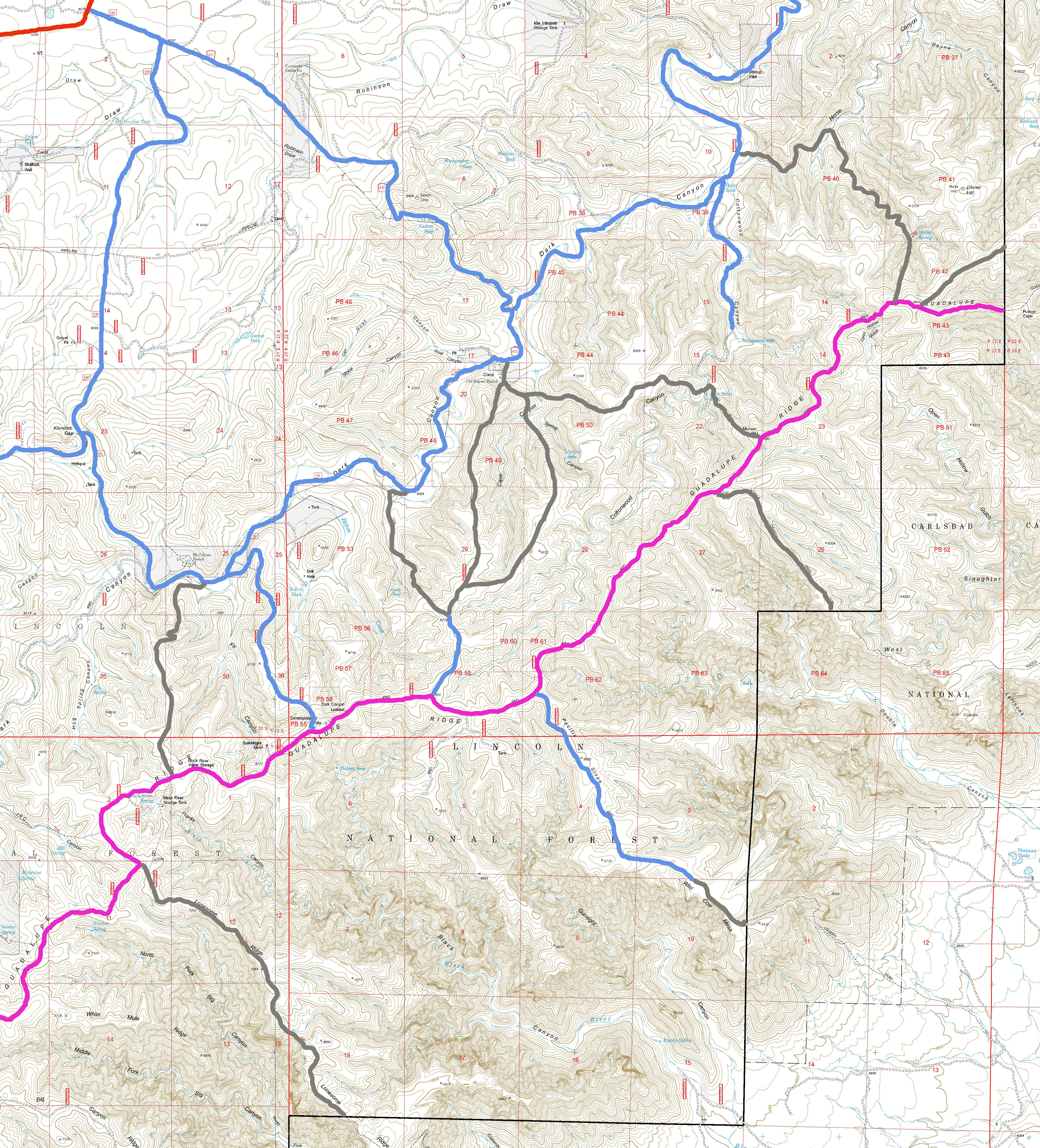
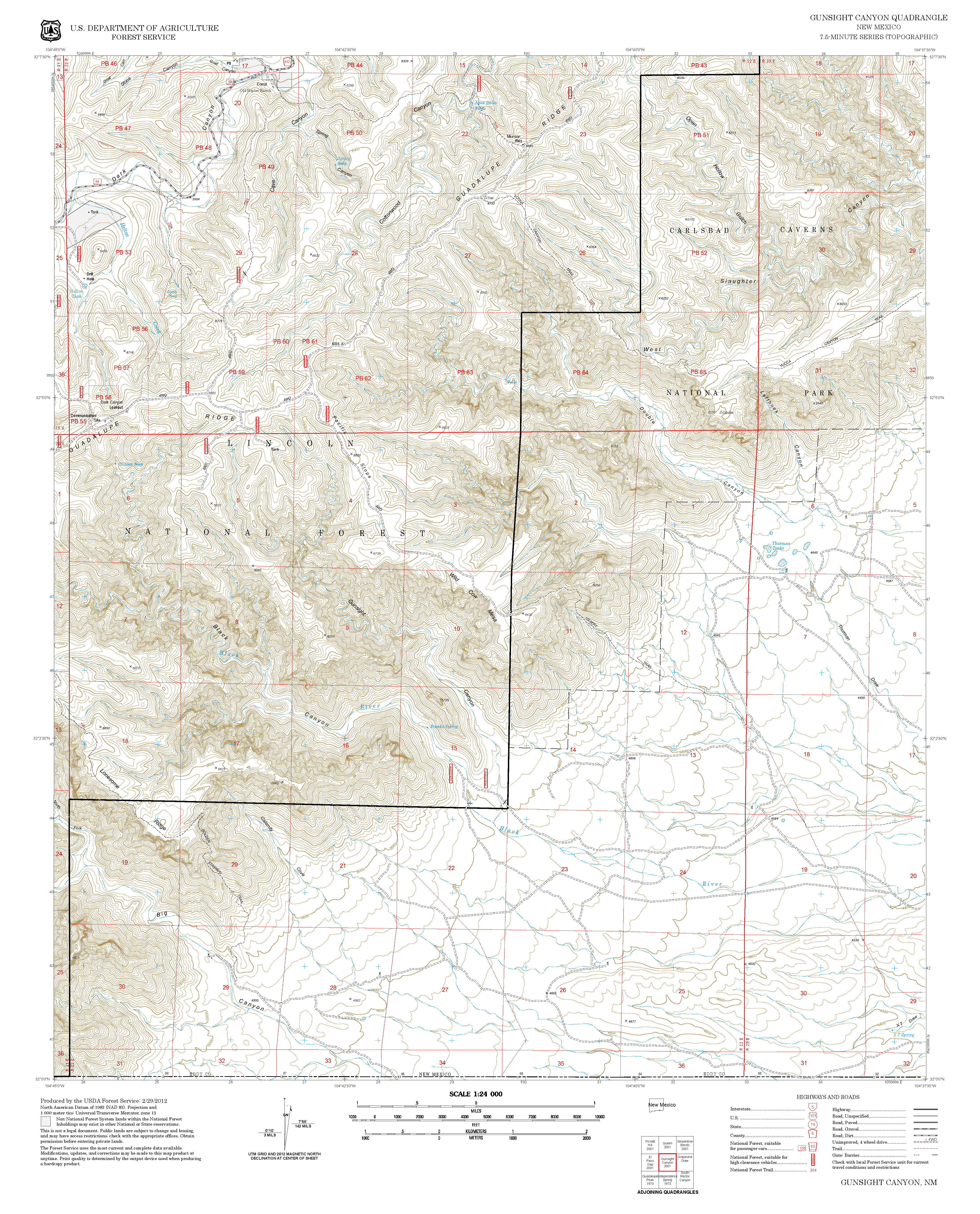
| Contour Interval: 40 feet Area Map (13 MB) Gunsight Canyon Topo Map | ||||||||||||||||||||||||||||
| ||||||||||||||||||||||||||||
DESCRIPTION: T224,
probably constructed by the CCC as a pack trail for the Dark Canyon lookout
tower, provides a reasonably constant 10% gradient as it ascends toward the
ridge. From the lower trailhead, cross a
meadow and a draw. Look for a place to
scramble out of the draw that appears to be part of an old road. After that, the trail can be followed – look for
occasional cairns. The lower portion
follows a draw with some ponderosa pines; the upper portion works its way
through pinyon-juniper woodlands. Once
the trail ascends out of the canyon, open views become available. T224
intersects FR3004. Turn left on FR3004
to reach T222 and T223. T224 and T223
can make a nice loop hike. T224 provides
a modest gradient for ascent, and T223 provides a modest gradient for descent. To
access the lower end of T224, follow the driving instructions for access to the
lower end of T222 and drive an additional 2.0 miles along FR69. The signed trailhead is on the left. Directly across from this trailhead is monument
rock where a homesteader named McCollum carved his name and the date over a
hundred years ago. | ||||||||||||||||||||||||||||
| LOCATION(S) OF ACCESS POINT(S) | ||||||||||||||||||||||||||||
| ||||||||||||||||||||||||||||
| ||||||||||||||||||||||||||||


