T222
Cave Canyon Trail


Guadalupe Ranger District
TL-green-190.jpg
Download
T222
GPS Track
(as .GPX)
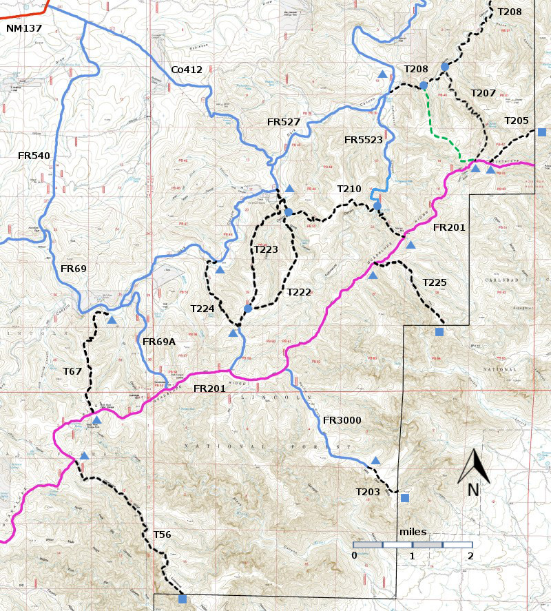
T56, T67, T203, T205, T207, T208, T210, T222, T223, T224, and T225 are shown as black dashed lines on the map.
FR201, shown in magenta, is considered to be impassable for most 4WD high clearance vehicles.

LENGTH:
2.7 miles
ELEVATION:

difference
DIFFICULTY:
Difficult
SCENIC
RATING:
2
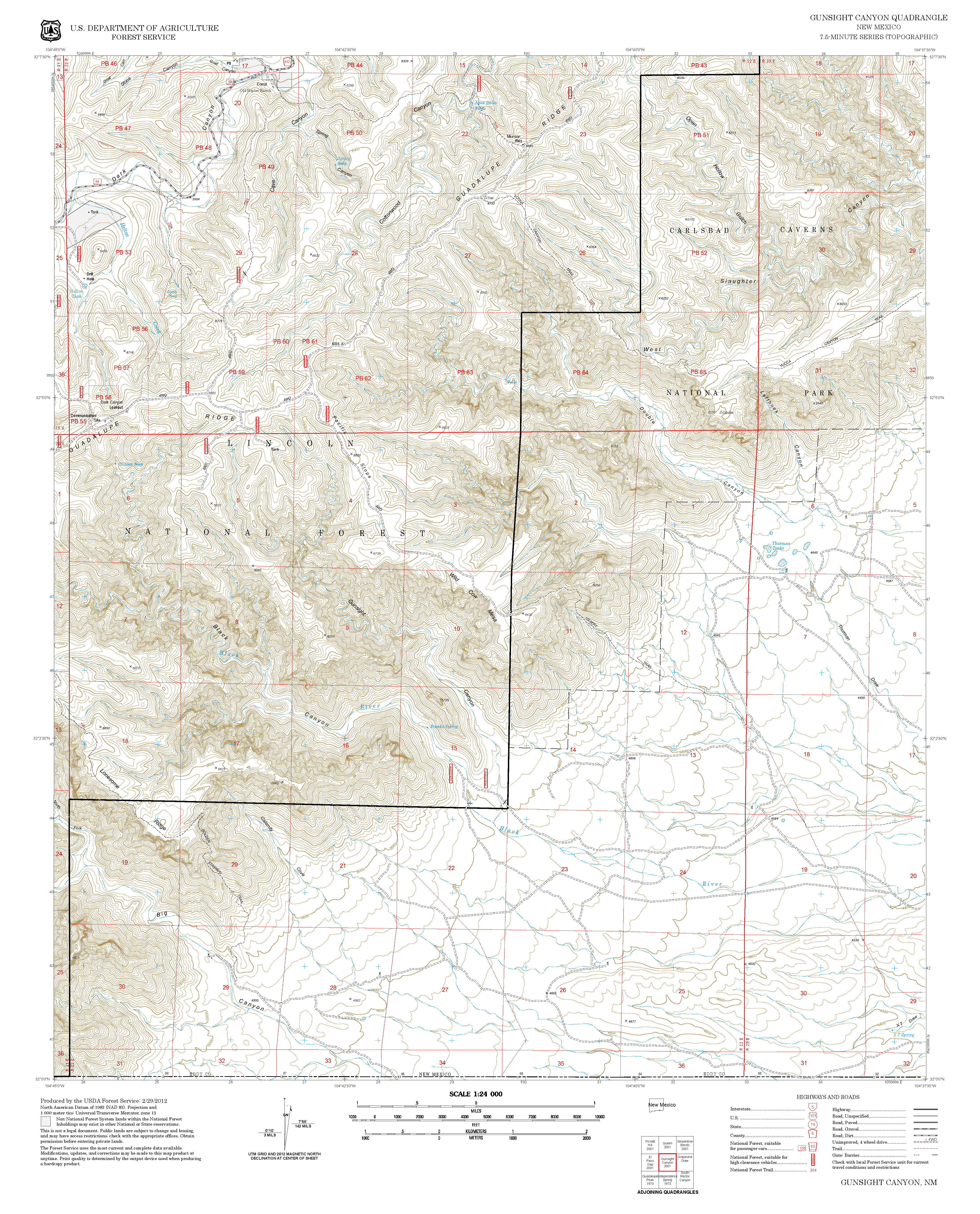
Contour Interval: 40 feet
Area Map (13 MB)

Gunsight Canyon Topo Map
Route Color Codespaved roads
(red)
FS roads, open
(blue)
FS roads, closed or impassable
(magenta)
main trail(s)
(black dashes)
---connector trail(s)
(green dashes)
---damaged or intermittent trail(s)
(orange over black dashes)
---closed trails(s)
(red over black dashes)
---
Symbolstrailhead
(blue triangle)
trail junction
(blue dot)
trail end
(blue square)

DESCRIPTION:

T222 gets mixed reviews.  It is easy to access from FR69, and the first 0.7 miles ascend along a draw which can be quite present if water is present.  In the next 0.4 miles it ascends 520 feet along the nose of the formation.  The remaining 1.5 miles are along a mostly open ridge with many opportunities for long range views.  Some hikers will want to ascend T222 – “Uphill is easier.” – and others will want to descend it – “Steep uphill is not easier.”  If you are looking for a loop hike, try T224 for ascent and T223 for a gentler descent.

ACCESS:

To reach the lower end of T222, take US285 northwest from Carlsbad (about 12 miles) to 0.6 mile beyond milepost 45 at its junction with NM137, Queen Highway. Turn left and follow the paved road 32 miles to milepost 20.  Continue along NM137 6.5 miles to the turnoff (left) for FR540 (which may also be signed as Klondike Gap Road).  FR540 is a very good gravel road.  Follow it 0.7 miles to its intersection with FR69 (same as Co 412 and Cougar Road).  Take the left fork and follow FR69 4.9 miles to a set of carsonsite signs on the left:  “T222”, and signs for “To T210” and “To T233”.   Pass through the gate and angle right. After about 500 feet, the trail reaches a meadow.  Angle left and, in about 200 feet, there is a green gate.  Pass through the gate ---close and latch it behind you – and cross the draw to the trail on the other side. T222 initially follows the right side of a draw, with T223 angling off to the right and a little further T210 angling off to the left.

The upper end of T222 is 0.2 miles north along T223 from the junction of T223, T224, and FR3004, which is reached from FR201.  FR201 is considered impassable for most high clearance 4WD vehicles.  The junction of T222 and T223 is marked with carsonite signs and a 3ft high cairn.
LOCATION(S) OF ACCESS POINT(S)
NAD83Lat/Lon hddd mm ss.sUTM (13 S)
Lower TrailheadN32 07 25.6
W104 42 57.2
526800
3554190
Junction of T223 and T223N32 05 46.4
W104 43 27.0
526028
3551135

Last Hiked:  March 20, 2014Web Page Updated:March 31, 2014
Copyright Lynn Melton 2014Contact: LNFTG14@gmail.com