| Download T210 GPS Track (as .GPX) | |||||||||||||||||||||||||||
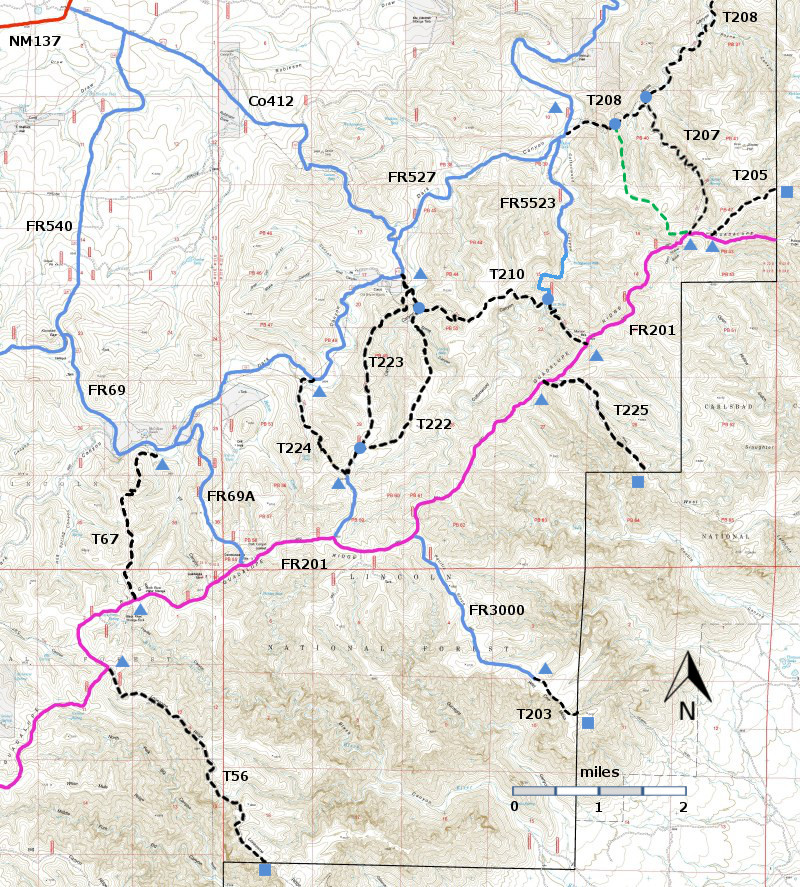
| T56, T67, T203, T205, T207, T208, T210, T222, T223, T224, and T225 are shown as black dashed lines on the map. FR201, shown in magenta, is considered to be impassable for most 4WD high clearance vehicles. | ||||||||||||||||||||||||||||
| LENGTH: 2.6 miles | |||||||||||||||||||||||||||
|
ELEVATION: 5800 - 6640 ft 840 ft difference | ||||||||||||||||||||||||||||
| DIFFICULTY: Difficult | ||||||||||||||||||||||||||||
| SCENIC RATING: 2 | ||||||||||||||||||||||||||||
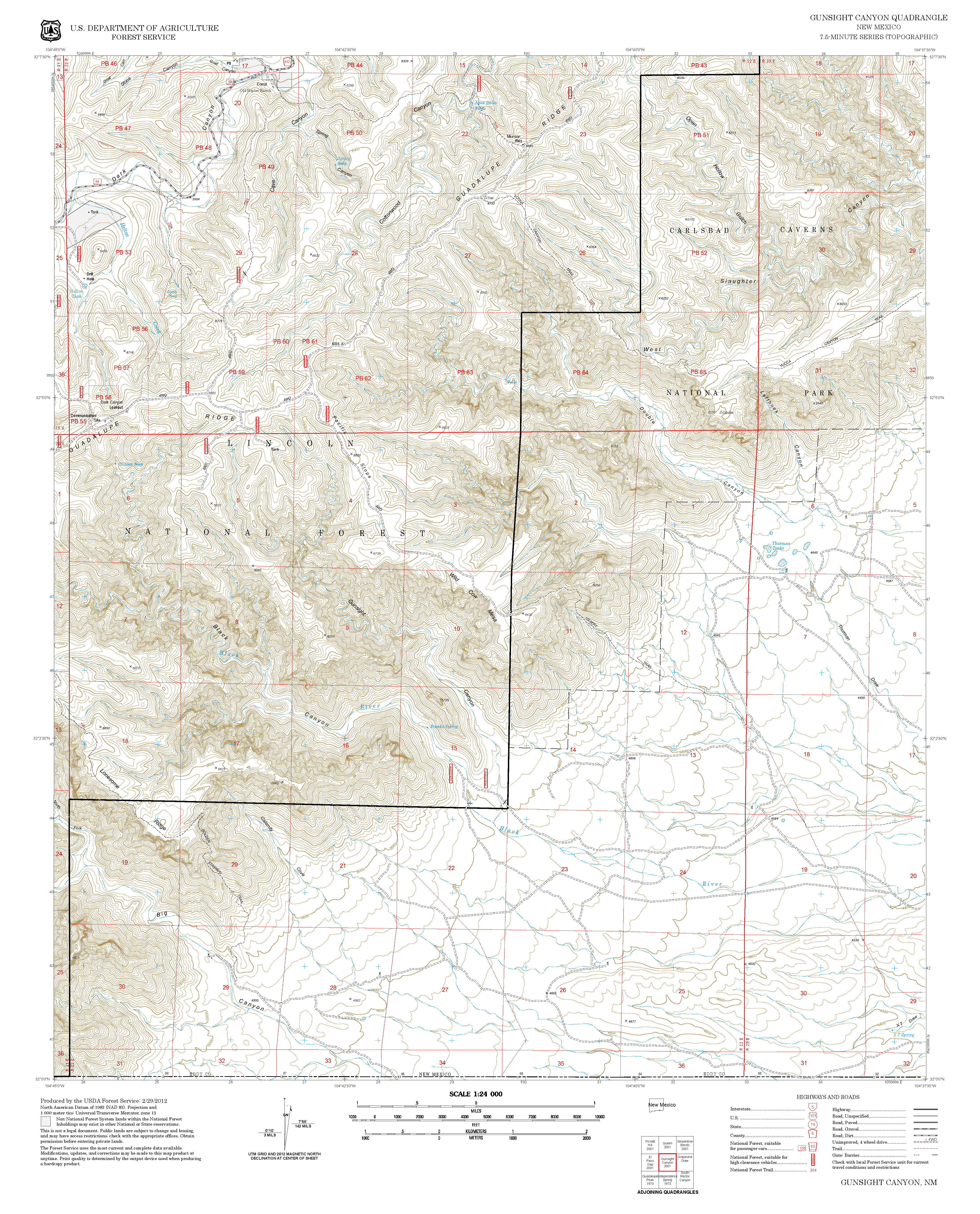
| Contour Interval: 40 feet Area Map (13 MB) Gunsight Canyon Topo Map | ||||||||||||||||||||||||||||
| ||||||||||||||||||||||||||||
DESCRIPTION: T210
begins near FR69, ascends, crosses a plateau, and descends toward Agua Dulce
Seep. It then ascends to FR201. The middle of T210, near the seep, may be
accessed by driving FR227 2.3 miles from FR69 and turning right onto
FR5523. The total distance along FR5523
to the junction with T210 is approximately 2.3 miles. However, since T5523 becomes narrow and
difficult to drive, it is prudent to drive 1.4 miles to a “To T210” carsonite
sign on the right, park, and walk the remaining 0.9 miles. FR527 requires a 4WD high clearance vehicle. It crosses the stream bed several times. In one section, the road bed has eroded into a Vee, and the sides of the Vee will be slick when the soil is damp. Do not attempt to drive FR527 unless it is dry. | ||||||||||||||||||||||||||||
| LOCATION(S) OF ACCESS POINT(S) | ||||||||||||||||||||||||||||
| ||||||||||||||||||||||||||||
| ||||||||||||||||||||||||||||


